القاهرة - شيراتون المطار - النزهة - رقم بريدى 4471347

 info@geopatra.org


Aerial Surveying & Field Data Collection Request service 
Description :
We provide aerial surveying and field data collection services using drone technology and remote sensing to deliver accurate, up-to-date geospatial data for GIS systems and spatial analysis.This service helps organizations document sites, update maps, monitor field changes, and collect reliable data that supports planning, project management, infrastructure, agriculture, environment, and natural resource operations.
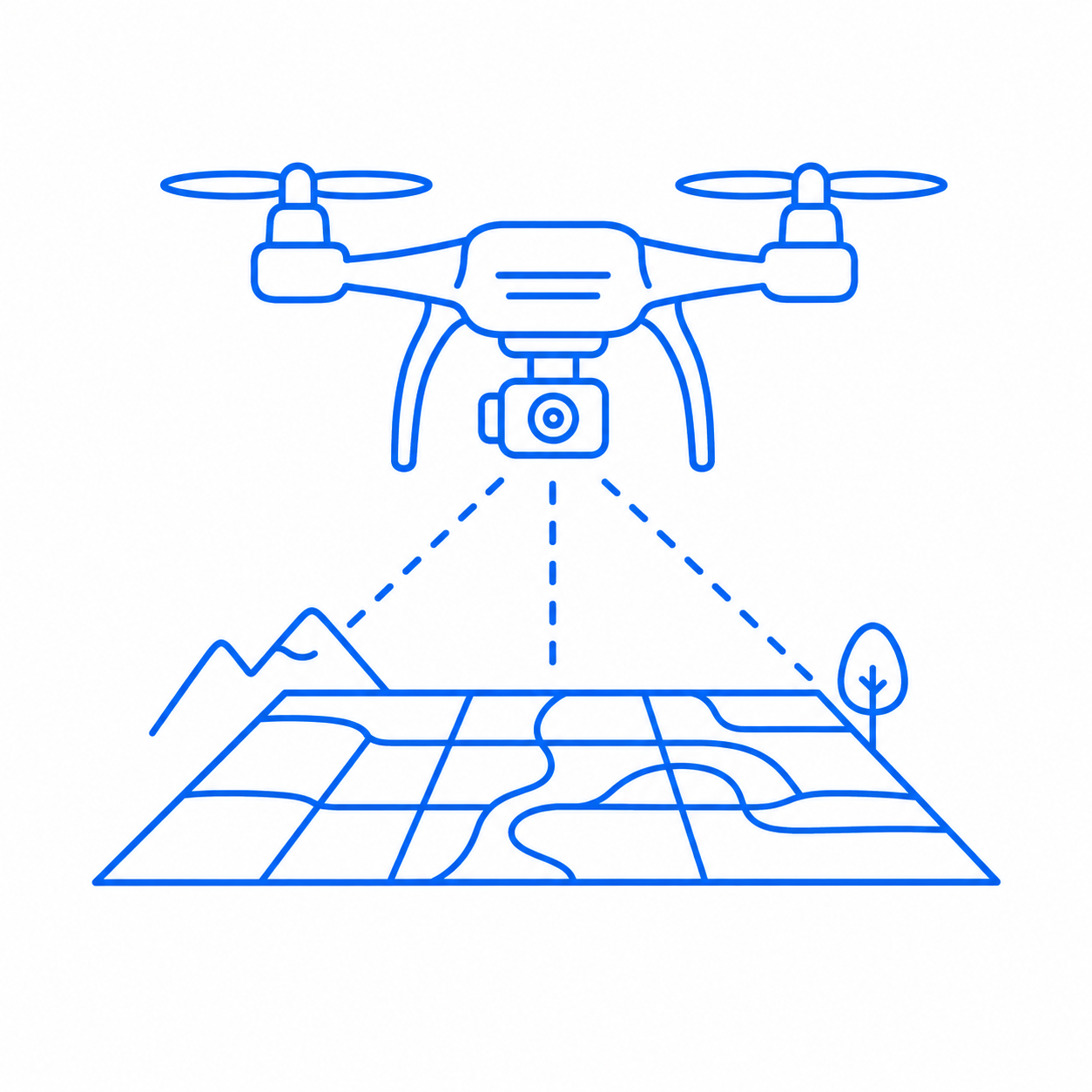
Drone-Based Surveying
Collecting high-resolution aerial images and data for sites and projects using modern drone technologies.
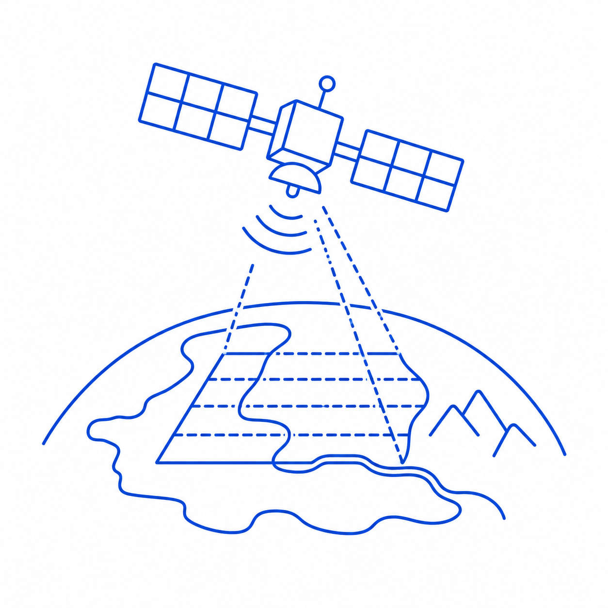
Remote Sensing
Using sensing technologies to analyze and monitor changes in land, environment, and targeted areas.
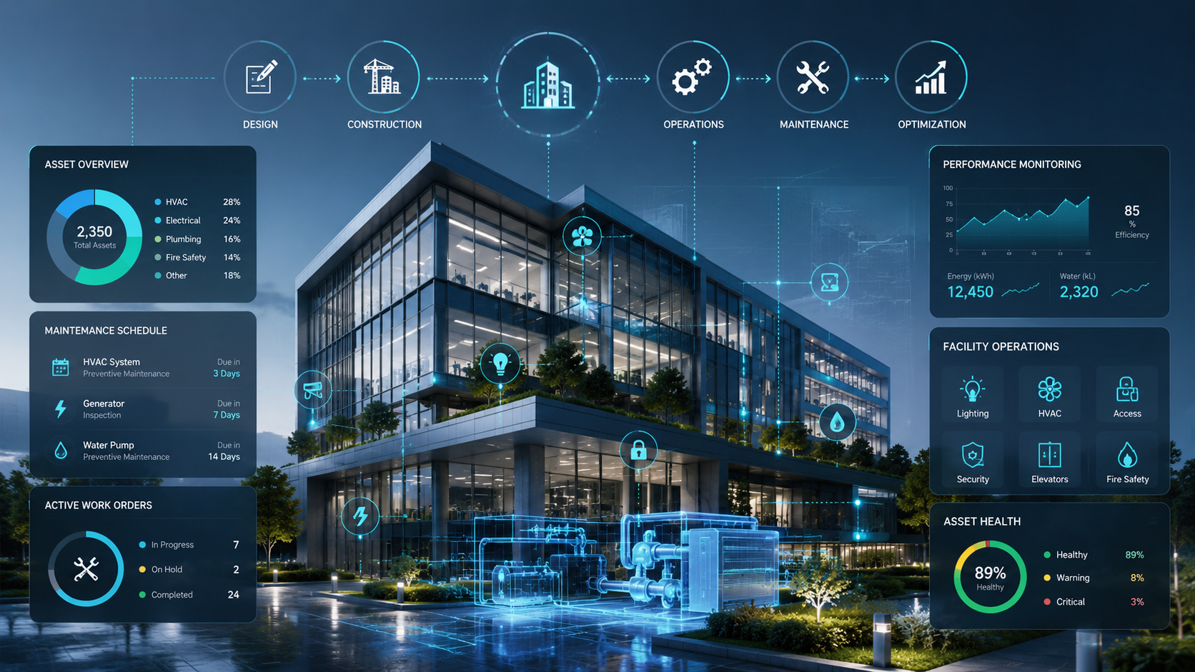
More services
Integrated engineering and digital solutions