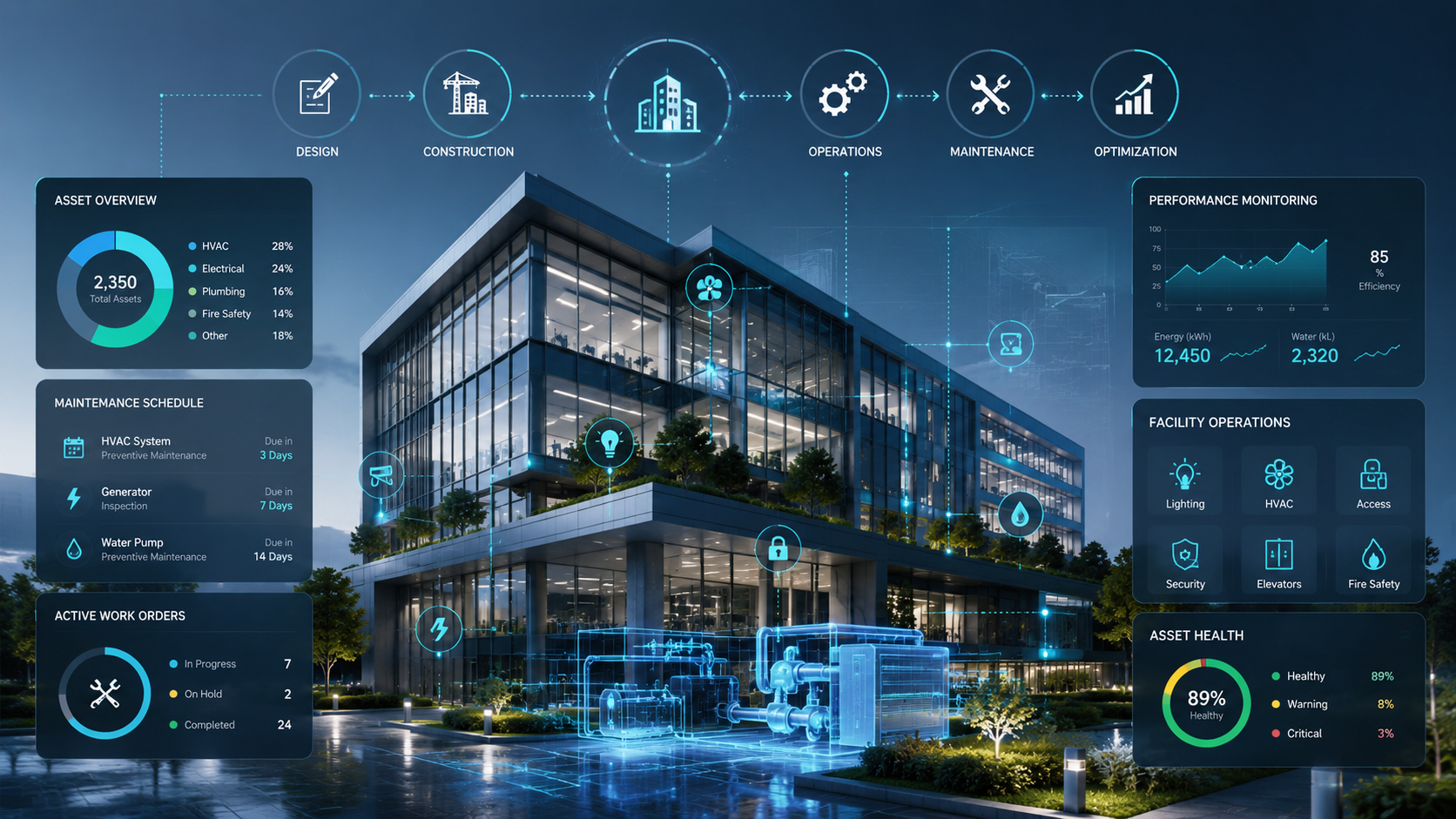
Providing an interactive platform for managing and monitoring the complete lifecycle of assets from design and construction to operation and maintenance
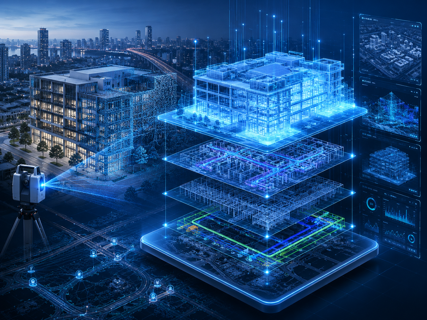
We provide digital twin model creation services by developing accurate digital replicas of infrastructure, buildings, facilities, and even entire cities, enabling a realistic virtual representation of real-world assets.
We provide specialized GIS training and consulting services to help organizations build internal capabilities and enhance their teams’ skills in using GIS technologies effectively.
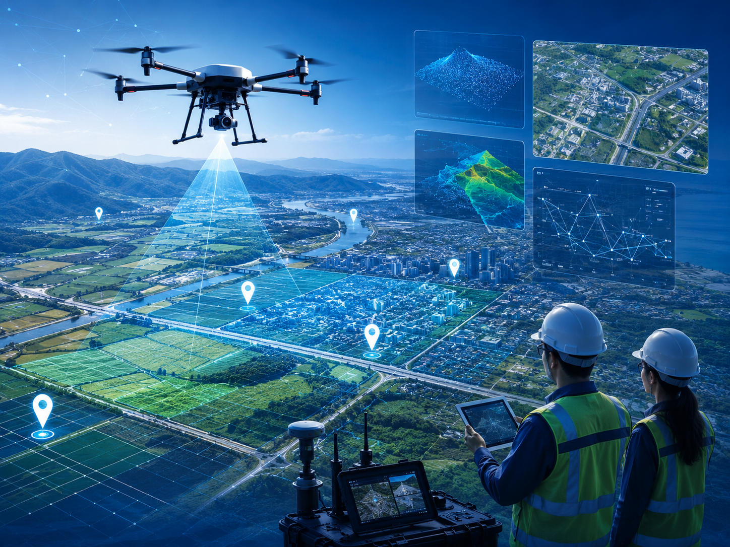
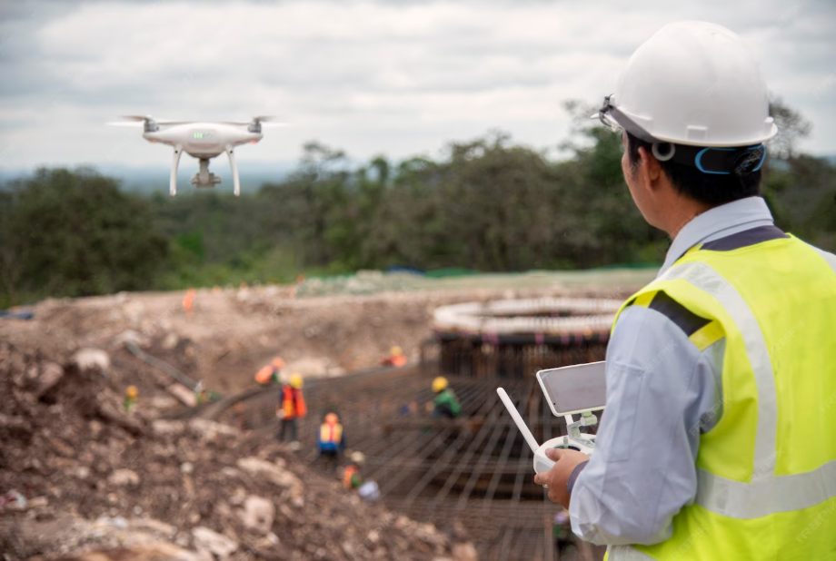
Utilizing cutting-edge drone technology and remote sensing for collecting accurate, up-to-date data for comprehensive GIS.
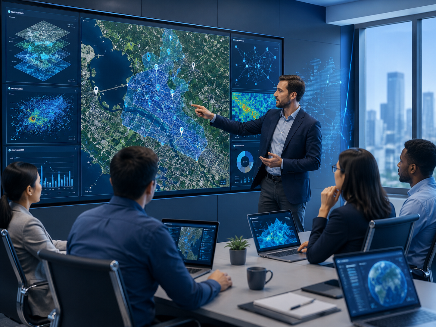
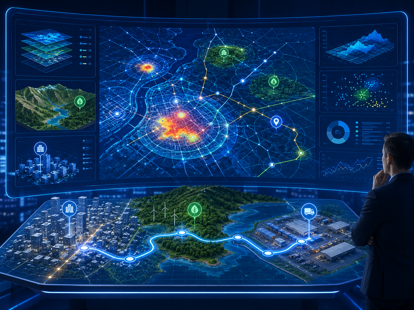
Providing in-depth analysis of spatial patterns and relationships to support decision-making in urban planning, natural resource management, and logistics.
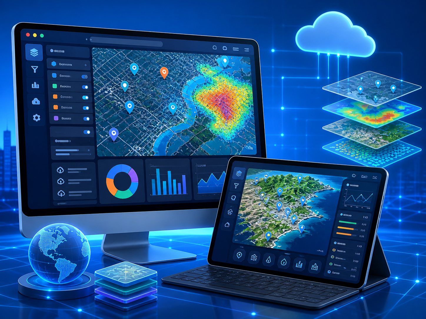
Creating interactive online custom platforms and applications for visualizing and analyzing geospatial data.
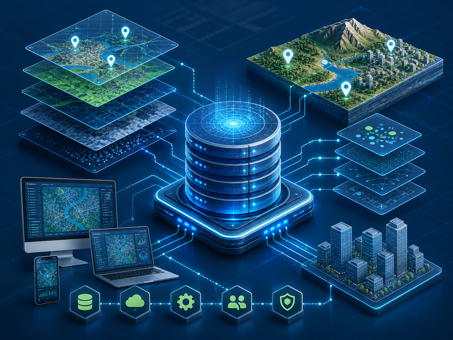
Designing and implementing robust, scalable spatial databases that form the foundation of any geospatial system.
Integrating GIS and BIM technologies for smart project solutions.
Specialized teams to collect field data with high accuracy.
Interactive maps and advanced spatial analysis for decision support.
Submit your application and take the next step in your career with us.
 القاهرة - شيراتون المطار - النزهة - رقم بريدى 4471347

 info@geopatra.org